

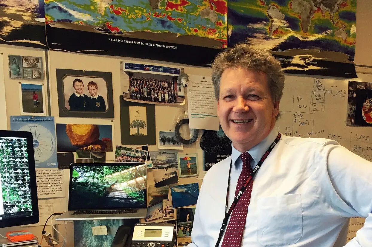
For centuries, ancient mariners relied on constellations for navigation. Today, in a fascinating reversal of roles dictated by the Earth’s curvature, modern scientific satellites are calibrated using fixed reference points on the planet. In their journey some 1,300 kilometers above sea level, two Greek islands—Gavdos and Crete—play a unique global role in satellite calibration, as Craig Donlon, head of ESA’s Earth Observation System Architecture Office, explains to Kathimerini.
Donlon has worked on missions such as Sentinel-3 and Sentinel-6, which measure sea levels and conduct topographic analyses. By collecting data on ocean height variations, scientists can map currents and underwater movements. He likens the phenomenon to the ripples created when stepping into a bathtub.
The Ground-Based Challenge
“All measurements are taken relative to a reference surface—the geoid—which is essentially an equipotential gravitational level. Our satellites operate in relation to this level, and we look for minute variations,” Donlon explains. “At 1,300 kilometers in space, we measure the ocean’s surface with an accuracy of less than one centimeter. This level of precision is crucial because to track ocean currents, we must detect extremely small height differences over vast horizontal distances of 1,000 kilometers. From this, we can also infer wind patterns. However, to achieve such accuracy, we must ensure our altitude measurements are correct.”
When ESA builds an altimeter for a satellite, engineers face a challenge: they do not have a flat 1,300-kilometer-long area to fully calibrate it. The Earth’s curvature creates practical measurement problems at such scales, making full pre-launch calibration nearly impossible. Instead, this process is completed after launch, using specific reference locations to verify the instruments’ accuracy.
Crete and Gavdos: The Ideal Solution
The best way to finalize altimeter calibration is by using terrestrial reference points. “Gavdos and Crete are two nearly unique locations worldwide,” Donlon notes. This is because multiple satellite ground-track altimeters intersect over these Greek islands.
“Of course, Greece experiences earthquakes, so sometimes everything shifts. The first step is to place GPS stations on the ground and take measurements for at least two years. This allows us to determine whether the land is rising or sinking,” Donlon explains.
Two such stations, equipped with transmitters firmly fixed to the Earth, operate in Crete (near Chania) and Gavdos. Calibration is conducted by transmitting pulses from satellites to the ground and measuring the time it takes for the signal to return.
Crete and Gavdos hold the record for the longest continuous series of satellite altimetry measurements ever conducted. “This is a great honor for Greece, and the team from the Technical University of Crete in Chania, led by Dr. Stylianos Mertikas, is fantastic—they work incredibly hard,” Donlon emphasizes.
Using this method, the ESA has calibrated satellites such as Sentinel-3A and Sentinel-3B (part of the EU’s Copernicus Earth observation program), Sentinel-6A (a collaboration between ESA, NASA, CNES, and NOAA), as well as NASA’s Jason-2 and Jason-3 topographic satellites. Even the ESA’s CryoSat, which measures polar ice thickness and changes in Greenland and Antarctica, and the oceanographic satellite AltiKa have relied on Gavdos and Crete for calibration.
Other Calibration Sites
Beyond Crete and Gavdos, ESA uses a CNES transmitter in France and tests reflectors in Catalonia, Spain, as well as additional reflectors in Crete. NASA also operates a set of experimental transmitters on Santa Catalina Island off Los Angeles, though their current operational status is uncertain. “So, Crete and Gavdos remain the only locations with the longest-running altimetry measurements ever conducted,” Donlon reiterates.
Global Space Cooperation and Challenges
When asked about international collaboration, Donlon highlights ESA’s partnerships with various space agencies. “We collaborate with China’s space agency through the Dragon program, exchanging students and data. We support Japan’s JAXA and Australia’s space agency, and we have strong ties with Germany, the UK, and France.”
Regarding Russia’s Roscosmos, he acknowledges that cooperation was extensive before the war in Ukraine, particularly in rocket launches. “Unfortunately, that’s no longer the case. There may still be some collaboration on the International Space Station, but it’s not as close as before. It’s really sad to see politics interfering with science.”
The Impact of Rising Sea Levels
Discussing sea level rise, Donlon warns that satellite data shows an accelerating trend. “By 2050, in a worst-case scenario, sea levels could rise by one to two meters. Many islands will disappear, and by 2100, levels could rise by several meters, based on IPCC climate models.”
Several factors contribute to this: ocean warming causes thermal expansion, while winds and waves redistribute water. Groundwater extraction compresses land, and ice sheet melting releases vast amounts of water into the oceans.
Uneven Sea Level Changes
Sea level rise is not uniform across the planet. “Oceanic processes create different patterns of sea level change. Some areas experience rising waters, while others see drops, influenced by gravitational forces and local atmospheric conditions,” Donlon explains.
Satellite Contributions to Ocean Monitoring
Since 1992, thirteen satellites have been launched for ocean monitoring, with four currently active. “The rest have reached the end of their lifespan, but we will launch Sentinel-6B this year and Sentinel-3C in 2026,” Donlon notes.
Satellite lifespans typically range from 7.5 to 12 years, but those in higher orbits—like ocean-monitoring satellites—function for about five years due to increased radiation exposure. “We place them high to avoid atmospheric drag,” Donlon explains.
Satellite Vulnerabilities
Satellites rely on solar panels and batteries, which degrade over time. Their orbits must be regularly adjusted to avoid collisions with other spacecraft, a growing challenge at lower altitudes, where congestion is significant. The International Space Station orbits at about 400 kilometers, whereas many satellites operate around 800 kilometers, an increasingly crowded region.
Other threats include micrometeoroid impacts and space debris, though these events are rare. A significant risk comes from electromagnetic interference, particularly in the South Atlantic Anomaly, where Earth’s magnetic shield is weaker. “High-energy electrons striking the wrong component at the wrong time can cause serious issues,” Donlon explains. “These effects worsen at the peak of the Sun’s 11-year activity cycle.”
Nothing in space is easy or simple.
Source: kathimerini.gr